Future EuroVelo 21 to link Belgrade to Shkodër via Bosnia and Herzegovina and Montenegro
3 jun. 2026
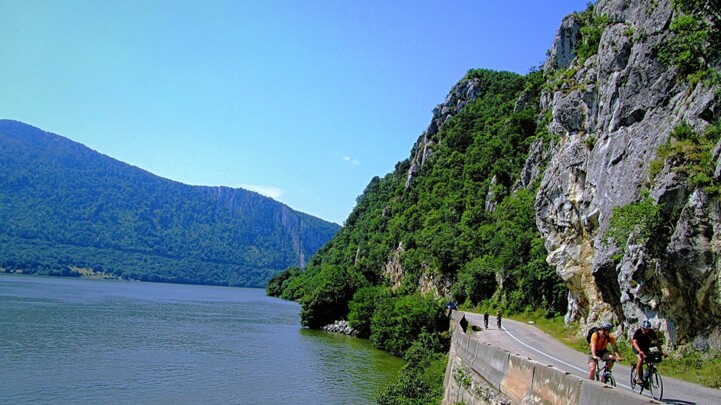
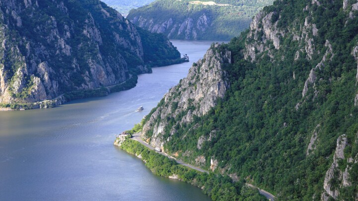
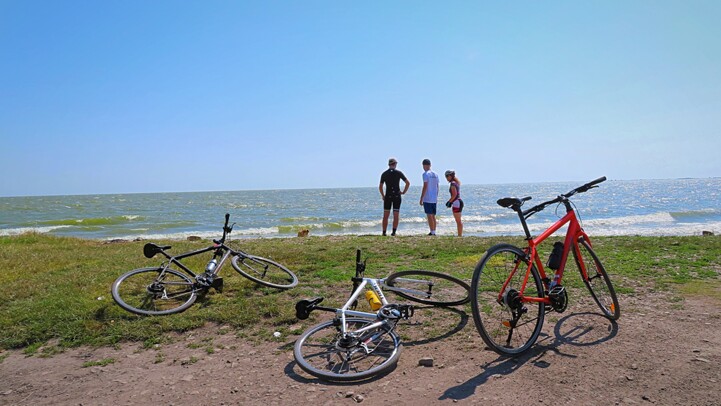
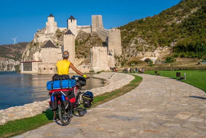
The European Cyclists’ Federation (ECF) is pleased to announce the next proposed EuroVelo route: the future EuroVelo 21 is set to expand the network in South-Eastern Europe and create a link between the Danube and the Adriatic. The route will connect Serbia, Bosnia and Herzegovina, Montenegro and A…