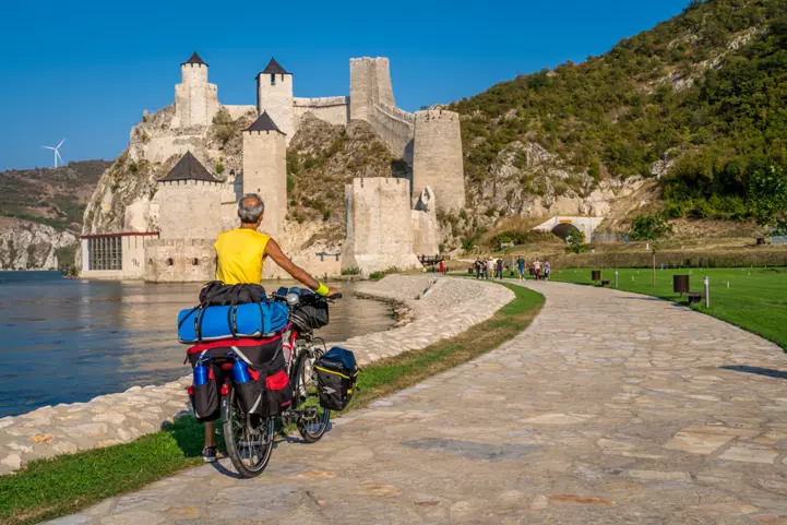
The small section of EuroVelo 6 in Slovakia starts in Bratislava, the friendly Slovak capital, and follows the Danube to the border with Hungary. Take this chance to visit Bratisvala, bordering Austria and Hungary, it is the only national capital that borders two sovereign states. The city's history has been strongly influenced by people of different nations and religions, and you will certainly learn a lot by visiting the landmarks of the city: the Bratislava Castle, situated on a plateau 85 metres above the Danube, the ruined and recently renovated Devín Castle and the famous Sad Janka Kráľa park, established in 1774-1776 and is the oldest public park in Central Europe.

Public Transport and Bicycles in Slovakia

Cestovné poriadky is a public transport journey planner, which includes rail, bus and urban timetable data. It also provides detailed information on specific lines, composition of trains, delay information as well as links to booking engines for ticket reservation/issuance.

In Slovakia, Slovak Rail offers bike transport in most of its trains, but different conditions apply for different services. This includes where the bike can be placed, the number of bikes that can be transported, who loads and unloads the bike as well as if a bike reservation is necessary.

See the green logos on the map and the 'Public Transport' section below the map for a list of train stations, bus stations and mobility information centers in Slovakia along EuroVelo 6 - Atlantic-Black Sea!

Landen

Legend

Development status
  • Certified These sections were awarded the official EuroVelo Certification label, ensuring high-quality cycling conditions.They were surveyed in the field by EuroVelo Route Inspectors to respect minimum requirements for motorised traffic levels, surface quality, EuroVelo signage, and access to services as defined by the European Certification Standard (ECS) methodology. EuroVelo Certified routes are the best options for beginners!
  • Developed + Signed These sections offer generally good cycling conditions, with limited motorised traffic, rideable surfaces, and EuroVelo signs along the route. Developed routes with signs are suitable for most cyclists. However, short stretches with lower-quality conditions may occur, and it is recommended to bring a map or navigation app as signs can have defects.
  • Developed + Not Signed These sections offer generally good cycling conditions, with limited motorised traffic and rideable surfaces, but without EuroVelo signs. Developed routes without signs are suitable for most cyclists. However, short stretches with lower-quality conditions may occur, and it is warmly recommended to bring a map or navigation app.
  • Partially Developed + Signed Cycling is possible here, but conditions vary. Some stretches may have high motorised traffic or poor surfaces, even though EuroVelo signs are in place. Partially developed routes with signs are suitable for experienced cyclists only, and it is recommended to bring a map or navigation app and check national/regional websites for more information. ECF and National EuroVelo Coordination Centres are working on improvements.
  • Partially Developed + Not Signed Cycling is possible here, but conditions vary. Some stretches may have high motorised traffic or poor surfaces, and EuroVelo signs are not in place. Partially developed routes without signs are suitable for experienced cyclists only, and it is warmly recommended to bring a map or navigation app and check national/regional websites for more information. ECF and National EuroVelo Coordination Centres are working on improvements.
  • Undeveloped / Unknown These sections do not meet minimum requirements for motorised traffic levels or surface quality – or their conditions are currently unknown. They may include dangerous stretches. Cyclists choosing to cycle there should use a map or navigation app and check national/regional websites for more information. It is recommended to use public transport to skip these areas where possible.
  • Public transport link These sections include continuity across seas or rivers and undeveloped parts of the network that can be skipped with a reliable public transport connection allowing bicycle transport.

Markers

  • Natuurlijk Erfgoed
  • UNESCO-werelderfgoed
  • Cultureel Erfgoed
  • Culinaire Hoogstandjes
  • Maritime Heritage / The Rhine / The Meuse
  • Other Point of Interest
  • Service
  • Bus station
  • Train station
  • Mobility info center

National & Regional Information

EuroVelo in Slovakia

National EuroVelo Coordination Centre

EuroVelo in Slovakia gathers all relevant and useful information for cyclists wanting to ride their bikes on Slovak EuroVelo sections. The website includes maps, stage descriptions, public transport information, and different cyclist-friendly services.

Website bezoeken

Slovenský cykloklub

National EuroVelo Coordination Centre

Website of the national EuroVelo coordination centre in Slovakia. It contains information about the organization, its activities, events and other useful information for cyclists.

Website bezoeken

Cykloportál.sk

This website includes marked cycling routes in Slovakia with maps, basic information, GPS tracks, route profiles, photos and other useful information. Administration of this website is provided by Slovenský cykloklub, the Slovak national EuroVelo coordination centre.

Website bezoeken

Gerelateerd nieuws

Services

Cyclists Welcome! (Vitajte cyklisti)
Slowakije
EV6 EV11 EV13
national

In Slovakia cycling friendly accommodations, restaurants, camping and tourist attractions can be viewed on the interactive map of the cycling friendly service network "vitajte cyklisti".

Note: the label is unfortunately on hold for now.

Website bezoeken

Openbaar Vervoer

Bratislava Treinstation

Adres: Námestie Franza Liszta 1 Bratislava I, 811 01 Bratislava, Slowakije

Zie de website voor meer informatie: www.slovakrail.sk/en.html