Contains only parts of the stage which are either developed, developed with signs or certified – i.e. sections that are ready to cycle.
Your contribution helps towards keeping these official GPX tracks up-to-date and freely available to download.
License & Disclaimer

These EuroVelo GPX tracks are made available under the Open Database License. While ECF and National EuroVelo Coordination Centers and Coordinators (NECCs) make every effort to ensure the tracks and their levels of development are both current and accurate, errors or outdated information can occur. The user is fully responsible for his or her own safety when making use of the tracks and for following national traffic rules and signing.

Please download and read the complete How to use gpx tracks and License and disclaimer documents before using the tracks.

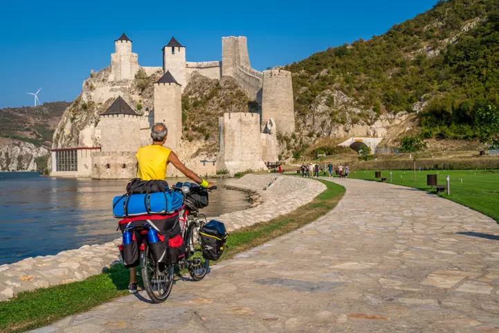
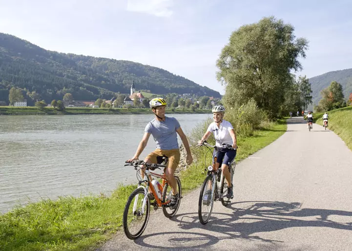
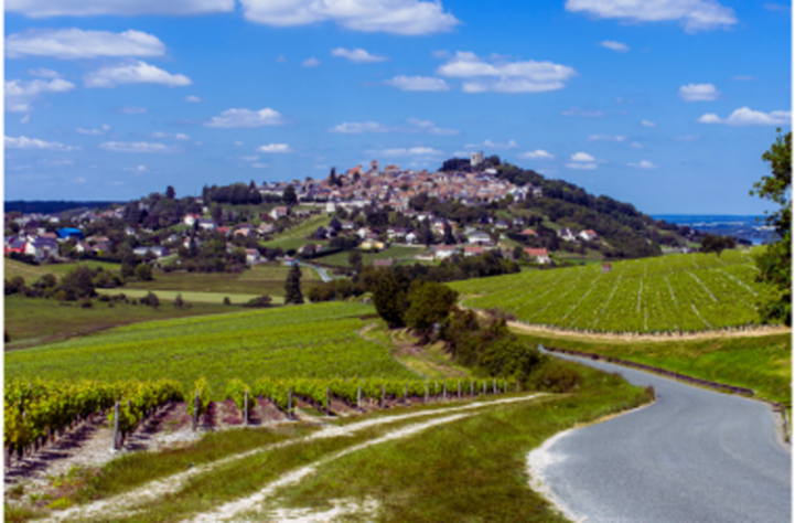
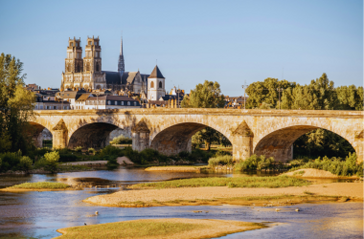
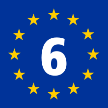
The stage from Nevers to Basel passes through Southern Burgundy with its world-famous wines, the region of Franche-Comté and the picturesque city of Basel at the junction of Germany, Switzerland and France. The stage begins with characterful towns, industrial heritage and famous vineyards. The stage continues on pleasant waterside routes alongside beautiful natural areas. The area around the magnificent Franche-Compté capital Besançon will reward you with historic towns beneath dramatic slopes and rocks. Following the Rhone-Rhine Canal, you will arrive in the south of Alsace for a cultural and gastronomic stop in Mulhouse, with its rich industrial past often referred to as the "French Manchester", with its exceptional museums including the famous Cité de l'Automobile, before arriving in the magnificent Swiss city of Basel.

Etappes
Landen

Legend

Development status
  • Certified These sections were awarded the official EuroVelo Certification label, ensuring high-quality cycling conditions.They were surveyed in the field by EuroVelo Route Inspectors to respect minimum requirements for motorised traffic levels, surface quality, EuroVelo signage, and access to services as defined by the European Certification Standard (ECS) methodology. EuroVelo Certified routes are the best options for beginners!
  • Developed + Signed These sections offer generally good cycling conditions, with limited motorised traffic, rideable surfaces, and EuroVelo signs along the route. Developed routes with signs are suitable for most cyclists. However, short stretches with lower-quality conditions may occur, and it is recommended to bring a map or navigation app as signs can have defects.
  • Developed + Not Signed These sections offer generally good cycling conditions, with limited motorised traffic and rideable surfaces, but without EuroVelo signs. Developed routes without signs are suitable for most cyclists. However, short stretches with lower-quality conditions may occur, and it is warmly recommended to bring a map or navigation app.
  • Partially Developed + Signed Cycling is possible here, but conditions vary. Some stretches may have high motorised traffic or poor surfaces, even though EuroVelo signs are in place. Partially developed routes with signs are suitable for experienced cyclists only, and it is recommended to bring a map or navigation app and check national/regional websites for more information. ECF and National EuroVelo Coordination Centres are working on improvements.
  • Partially Developed + Not Signed Cycling is possible here, but conditions vary. Some stretches may have high motorised traffic or poor surfaces, and EuroVelo signs are not in place. Partially developed routes without signs are suitable for experienced cyclists only, and it is warmly recommended to bring a map or navigation app and check national/regional websites for more information. ECF and National EuroVelo Coordination Centres are working on improvements.
  • Undeveloped / Unknown These sections do not meet minimum requirements for motorised traffic levels or surface quality – or their conditions are currently unknown. They may include dangerous stretches. Cyclists choosing to cycle there should use a map or navigation app and check national/regional websites for more information. It is recommended to use public transport to skip these areas where possible.
  • Public transport link These sections include continuity across seas or rivers and undeveloped parts of the network that can be skipped with a reliable public transport connection allowing bicycle transport.

Markers

  • Natuurlijk Erfgoed
  • UNESCO-werelderfgoed
  • Cultureel Erfgoed
  • Culinaire Hoogstandjes
  • Maritime Heritage / The Rhine / The Meuse
  • Other Point of Interest
  • Service
  • Bus station
  • Train station
  • Mobility info center

National & Regional Information

Réseau vélo et marche

National EuroVelo Coordination Centre

Réseau vélo et marche is a network of local authorities committed to the development of active mobility in France. Since 2011, it has operated as national coordination centre for EuroVelo in France, monitoring the development of the European cycle route network at the national level.

Website bezoeken

ADFC: Allgemeiner Deutscher Fahrrad-Club e.V.

National EuroVelo Coordination Centre

De ADFC is een landelijke non-profitorganisatie met meer dan 230.000 fiets-enthousiaste leden, die zich gezamenlijk ten doel stelt de wegen veiliger te maken voor fietsers en voetgangers. Naast het stimuleren van milieuvriendelijke en dus duurzame vormen van vervoer, adviseert de ADFC over alle aspecten van het fietsen. Dit omvat advies over de aankoop van een fiets, technologie en fietsaccessoires, toeristische en politieke kwesties.

030 2091498-0
Website bezoeken

Federal Logistics and Mobility Office (BALM)

National EuroVelo Coordination Centre

The Federal Logistics and Mobility Office (BALM) is the central lead partner for the promotion of cycling on behalf of the Federal Ministry for Transport. The BALM is the is the first point of contact for a lot of questions referring to the funding and the promotion of bicycle traffic. Thus, the BALM makes an essential contribution to the sustainable shaping of a safe, environmentally suitable mobility and to the accomplishment of the climate protection goals in the area of mobility. The Cycle Network Germany office at BALM is the project organiser for the German national cycle network. It forms the network of cycle routes of national importance and consists of the thirteen D-Routes, the German Unity Cycle Route and included the Iron Curtain Trail.

Website bezoeken

France Vélo Tourisme

France Vélo Tourisme is de Franse nationale website voor de promotie van langeafstandsfietsroutes. De website heeft specifieke pagina's voor alle 'kant-en-klare' EuroVelo-routes met kaarten, bezienswaardigheden en andere nuttige informatie.

Website bezoeken

Accueil Vélo

"Accueil Velo" is a national accreditation scheme guaranteeing a high quality of services for cyclists using French cycle routes. You will find accommodations, bike rental and repair companies, restaurants, tourist offices and places to visit.

Website bezoeken

EuroVelo 6 / Between Loire and Rhine by bike

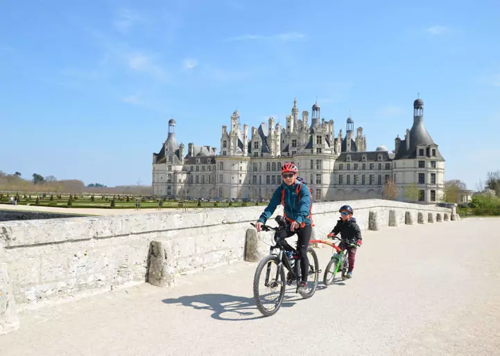
From Nevers to Basel, EuroVelo 6 follows the wildest part of the Loire valley, which has been listed as a World Heritage site by UNESCO, the canals of Burgundy, the Saône Valley, and the Canal from the Rhine to the Rhône. As the route follows the course of rivers, it is generally quite flat making it ideal cycling territory for those with children.

Website bezoeken

EuroVelo 6 / La Loire à Vélo

The Loire by Bike, from Saint-Brevin-les-Pins to Nevers, along the Loire valley, is the most famous and prestigious cycle route in France with 280 km listed as a UNESCO World Heritage Site. Designed as an easy, family-friendly ride, the cycle route takes you through the Loire landscapes, passing through the river’s natural banks, vineyards, Loire castles, troglodyte sites, via the Loire-Anjou-Touraine Regional Nature Park.

Website bezoeken

ZwitserlandMobiliteit

National EuroVelo Coordination Centre

Meer informatie over de EuroVelo-routes 5, 6, 15 en 17 vindt u op de website switzerlandmobility.ch of in de gratis SwitzerlandMobility-app. Elke route bevat een uitgebreide fotogalerij, een beschrijving en informatie over de afstand, het hoogteprofiel, de moeilijkheidsgraad en hoe u er met het openbaar vervoer kunt komen. Daarnaast vindt u er informatie over accommodaties, bezienswaardigheden, fietsreparatie- en verhuurpunten, of wegafsluitingen en omleidingen langs de route.

+41 31 313 02 70
Website bezoeken

[EuroVelo 6] D-Route 6

This website contains information on the German D-Route 6, with a description of the route, an online Map with route planning function and option to download the route tracks.

Website bezoeken

Rhine Route: Andermatt–Basel

In Switzerland, the national Rhine Route follows the Alpine river from mountain source to the large Rhine port at Basel. A vastly varied trip through diverse landscapes hewn by the mighty river over the ages.

Website bezoeken

ADFC brochure "Ontdek Duitsland per fiets"

Op de online presentatie van de brochure van de ADFC vind je een selectie van de mooiste fietsroutes in Duitsland.

Website bezoeken

ADFC Kwaliteitsfietsroutes

Momenteel dragen 37 kwaliteitsroutes in Duitsland, 2 kwaliteitsroutes in het buitenland en 8 fietstochtregio's het ADFC-keurmerk. De link geeft meer informatie.

Website bezoeken

Bett+Bike - Fietsvriendelijke accommodatie

Ongeveer 5.900 hotels, pensions, jeugdherbergen, natuurhuizen en campings zijn op maat gemaakt voor de behoeften van de fietsers. Gastbedrijven die voldoen aan de ADFC-kwaliteitscriteria zijn bij de ingang voorzien van een bordje.

Website bezoeken

Duits Toeristisch Centrum e.V., DZT

Het DZT promoot Duitsland al meer dan 60 jaar namens de federale overheid in het buitenland. Het adverteert de toeristische diversiteit van Duitsland over de hele wereld. Het adverteert daarom voor een van de grootste en populairste merken - het reisland Duitsland. Een selectie van aantrekkelijke langeafstandsfietsroutes vindt u op www.germany.travel met routebeschrijvingen en referenties van Bed+Bike vestigingen.

+49 (0)69 974640
Website bezoeken

Fietsrouteplanner in Duitsland

Dit platform maakt naadloze fietsrouteplanning in heel Duitsland mogelijk! Plan uw reis en download de GPX tracks van Duitse D-Routes in open data.

Website bezoeken

Alsace à Vélo

De Elzas heeft een netwerk van 2.500 km aan fietspaden. Door zijn omvang behoort de Elzas tot de top van de fietsregio's in Frankrijk. Drie EuroVelo-routes lopen door de regio, waaronder de EuroVelo 5, 6 en 15. Alle nodige informatie over de internationale route en de regionale en lokale paden die zich ervan afsplitsen, vind je op de website van Alsace à Vélo.

Website bezoeken

[EV6] Part 1 - Rhine Valley Cycle Route

The varied tour through the Rhine Valley passes through countless vineyards and mostly directs cyclists along routes away from busy roads. The motto of this cycle route is “Enjoy nature”. The flora and fauna of the Kaiserstuhl hills along with the countless vineyards will allow cyclists to forget their everyday stresses. The Rhine Valley Cycle Route follows the course of the Rhine, passing along the borders with Liechtenstein and Austria before arriving at Lake Constance.

0049 (0)711 2 38 58 0
Website bezoeken

[EV6] Part 2 - Hohenzollern Cycle Route

From the Danube to Lake Constance. Tuttlingen’s local mountain, the Witthoh, is the only hill on this section of the route. The route is then almost entirely downhill, whereby the considerably milder climate that prevails around Lake Constance can be felt the further one travels. The tour then continues along the Stockacher Aach tributary of the Rhine to Ludwigshafen beside Lake Constance where the Hohenzollern Cycle Route ends.

0049 (0)711 2 38 58 0
Website bezoeken

[EV6] Part 3 - Danube Cycle Route

From Tuttlingen, the Danube Cycle Route continues on to Ulm where the tallest church spire in the world (forming part of Ulm’s minster) can be visited. Countless historical monuments lie along the route that then passes through Ingolstadt, Regensburg and Passau before arriving at the border with Austria. In 2006, UNESCO added the Regensburg ensemble of the old town with the Stadtamhof district to its list of World Heritage Sites.

0049 (0) 731 1612814
Website bezoeken

Gerelateerd nieuws

Kaarten & Gidsen

Chamina Gids: EuroVelo 6 de Bâle à Nevers

600 km van de Rijn naar de Loire, door de Haute-Alsace, Franche-Comté, Bourgondië... De gids: - pagina's met spiraalbinding, gemakkelijk te hanteren op een fiets - Formaat 11,5 x 21 cm, geschikt voor een kaarthouder aan het stuur - Duidelijke en nauwkeurige kaarten - Beschrijvingen van de fietsroutes - Kaarten van de belangrijkste doorkruiste steden - Goede adressen voor accommodatie, verhuurbedrijven en diensten - Trein + fiets informatie (in het Frans)

Chamina gids: La Loire à vélo de Nevers à l'Atlantique - Grands Itinéraires

De Loire-vallei heeft schrijvers geïnspireerd met haar natuurlijke schoonheid en heeft vorsten aangetrokken die haar hebben begiftigd met een opmerkelijk architecturaal erfgoed. Zijn milde klimaat en bodem hebben de beroemde Loirewijnen voortgebracht. Het staat op de werelderfgoedlijst van UNESCO. Van Nevers naar de Atlantische Oceaan in 840 km gemakkelijk fietsen. 39 etappes volledig uitgezet per fiets. Goede adressen, accommodatie, diensten, "trein + fiets" informatie. (in het Frans)

Bikeline Donau-Radweg 1 Teil 1: Von Donaueschingen nach Passau

Deutschsprachiger Führer, der die 600 km von Donaueschingen nach Passau beschreibt. Er enthält 62 präzise Karten und detaillierte Streckenbeschreibungen im Maßstab 1:50.000, zahlreiche Empfehlungen zu den kulturellen und touristischen Attraktionen und ein umfangreiches Verzeichnis der Unterkünfte und Dienstleistungen. Charakteristisch für die bikeline-Radwanderführer ist ihr Querformat in Kombination mit dem patentierten Spiralbindesystem, wetterfest und ideal für die Lenkertasche.

EuroVelo 6: Loire Cycle Route ''Loire-Radweg" [Bikeline Esterbauer]

This cycling guide describes the French section of EuroVelo 6 from the Atlantic to Nevers (645 km). The perfect tool before and during your journey: precise and informative maps, 1:75,000 scale, elevation and distance profiles, GPS tracks, accommodation and service directory. Can be used even without any knowledge of German. English translation of the map legend and the user manual of the guide available at esterbauer.com/international.

EuroVelo 6: East of France "Frankreich Ost” [Bikeline Esterbauer]

This cycling guide describes the sections of EuroVelo 6 in France and Switzerland from Orléans to Basel (796 km). The perfect tool before and during your journey: precise and informative maps, 1:75,000 scale, elevation and distance profiles, GPS tracks, accommodation and service directory. Can be used even without any knowledge of German. English translation of the map legend and the user manual of the guide available at esterbauer.com/international.

Services

Accueil Vélo (Cyclists Welcome)
Frankrijk
EV5 EV6 EV15
national

Along the French cycle routes France Vélo Tourisme offers a wide range of services with Accueil Vélo, a national accreditation scheme guaranteeing a high quality of welcome and services for cyclists. This includes accommodations, restaurants, places to visit, tourist offices as well as bike rental and repair companies, all available to be explored on an interactive map. The “Accueil Vélo” brand is used in various regions in France, such as along the La Loire à Vélo (EuroVelo 6) as well as in the region of Alsace. (EuroVelo 5, 6 and 15).

Website bezoeken
bett+bike
Duitsland
EV2 EV3 EV4 EV5 EV6 EV7 EV8 EV9 EV10 EV12 EV13 EV15 EV17
national

The bett+bike logo by ADFC can be found not only in Germany but in many other countries such as Austria, Belgium or Denmark. On the website certified accommodations are divided in four categories: bett+bike hosts, sports, camping and holiday homes. In addition, the results can be subdivided into regions and cycle routes.

Website bezoeken
Switzerland Mobility
Zwitserland
Liechtenstein
EV5 EV6 EV15 EV17
national

On SwitzerlandMobility, you will find selected bicycle-friendly accommodation. These have a lockable bicycle storage room, bicycle repair kit, and washing and drying facilities for clothing. On the map, accommodation options can be filtered by different categories – hotel, BnB, holiday apartment, group accommodation, campsite and much more.

Website bezoeken