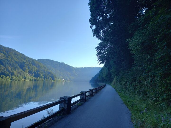
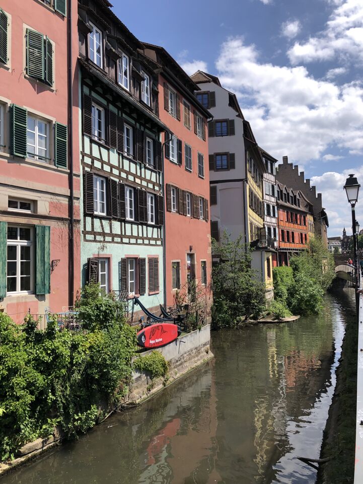
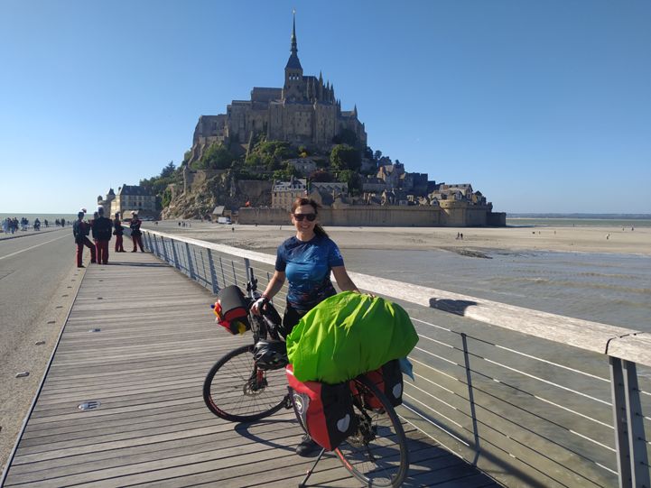
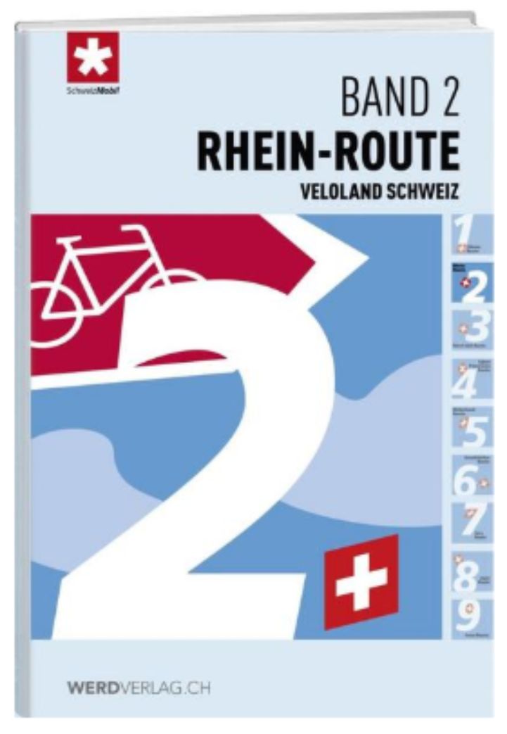
The EuroVelo 6 in Switzerland (National Rhine Route N°2) follows the Rhine River from Basel to Stein am Rhein. Along the route you will find bustling towns, medieval towers, Swiss-German bridges, Roman ruins, aspargus fields and a mighty river. When cycling along the Rhine picturesque medieval cities, await you. The Upper Rhine sits between the Black Forest and the Jura mountains, large and idle at times, narrow and wild at others. Next to Schaffhausen you will find the Rhine Falls, the biggest waterfall in Europe. In Schaffhausen sits the impressive fortress of "Munot, with a richly decorated old town.

Landen

Legend

Development status
  • Certified Section of at least 300 km that has successfully undergone the certification process in line with ECF’s European Certification Standard. It is the highest quality level on the EuroVelo network
  • Developed with EuroVelo signs Developed route (see category below) with continuous signing along the route, incorporating EuroVelo route information panels.
  • Developed Route developed for cyclists and signed in line with the respective national standard (i.e. it is part of a local, regional or national cycle network). There must also be a website providing information to users. Developed route can be heterogeneous in terms of infrastructure: type of cycling infrastructure, surface, width, gradients, etc
  • Under development Route containing sections that require further development (e.g. stretches on public highways with high levels of traffic). Cyclists are advised to use public transportation to skip these non-developed stretches.
  • Planning Undeveloped route with no detailed information publicly available on the Internet. The itinerary communicated is a proposal for the best possible option currently available. It may also contain dangerous sections. Cyclists are advised to use public transportation to skip these non-developed stretches.
  • Public transport link

Markers

  • Natuurlijk Erfgoed
  • UNESCO-werelderfgoed
  • Cultureel Erfgoed
  • Culinaire Hoogstandjes
  • Maritime Heritage / The Rhine / The Meuse
  • Other Point of Interest
  • Bus station
  • Train station
  • Mobility info center

National & Regional Information

Stichting ZwitserlandMobiliteit

National EuroVelo Coordination Centre

ZwitserlandMobiliteit coördineert en communiceert als Nationaal Coördinatiecentrum de aantrekkelijkste, officieel bewegwijzerde routes voor wandelen, fietsen, mountainbiken, rolschaatsen en kanoën in Zwitserland. Op de website van de Stichting ZwitserlandMobiliteit is gedetailleerde informatie te vinden over de EuroVelo-routes in Zwitserland, waaronder online kaarten, allerlei fietsvriendelijke diensten en links naar het openbaar vervoer.

0041 (0) 31 313 02 70

Rhine Route: Andermatt–Basel

In Switzerland, the national Rhine Route follows the Alpine river from mountain source to the large Rhine port at Basel. A vastly varied trip through diverse landscapes hewn by the mighty river over the ages.