How to reach Velo-city Rimini by bicycle
19 mrt. 2026
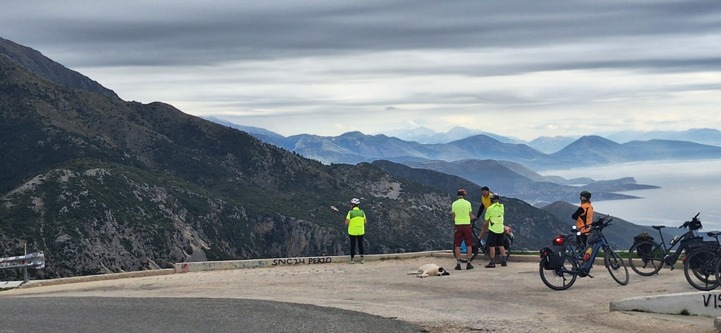
What better way to reach Velo-city Rimini 2026, than by bike? Besides the right to boast about your achievement and a great icebreaker topic, you will also gain plenty of spectacular memories across the continent. Cycling with ease to Rimini is possible from all sides of Europe thanks to the EuroVe…