


ADFC: Allgemeiner Deutscher Fahrrad-Club e.V.
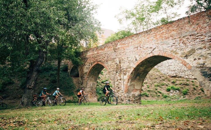
De ADFC is een landelijke non-profitorganisatie met meer dan 230.000 fiets-enthousiaste leden, die zich gezamenlijk ten doel stelt de wegen veiliger te maken voor fietsers en voetgangers. Naast het stimuleren van milieuvriendelijke en dus duurzame vormen van vervoer, adviseert de ADFC over alle aspecten van het fietsen. Dit omvat advies over de aankoop van een fiets, technologie en fietsaccessoires, toeristische en politieke kwesties.
[email protected] 030 2091498-0