
Contains the tracks of the whole stage, including well developed sections but also parts of the route under development or at the planning stage.
Contains only parts of the stage which are either developed, developed with signs or certified – i.e. sections that are ready to cycle.
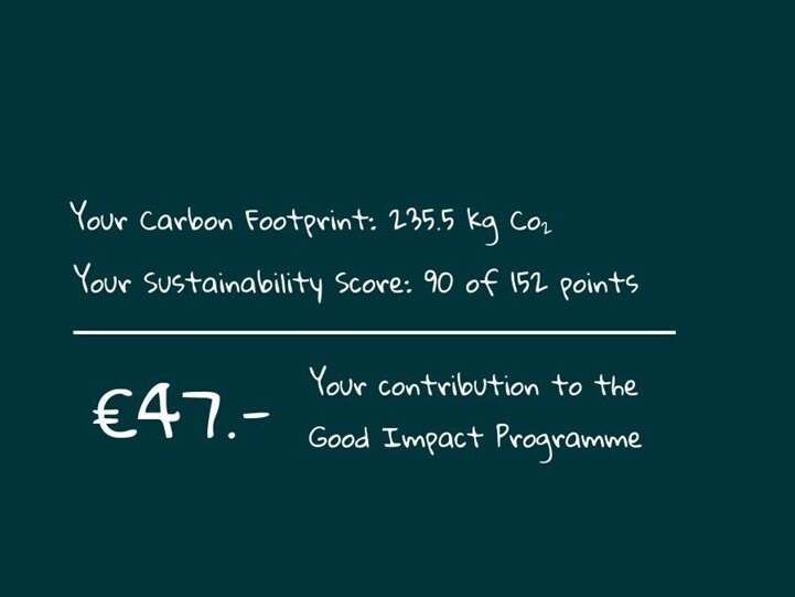
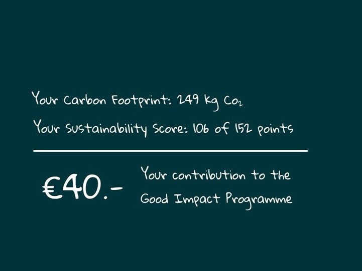
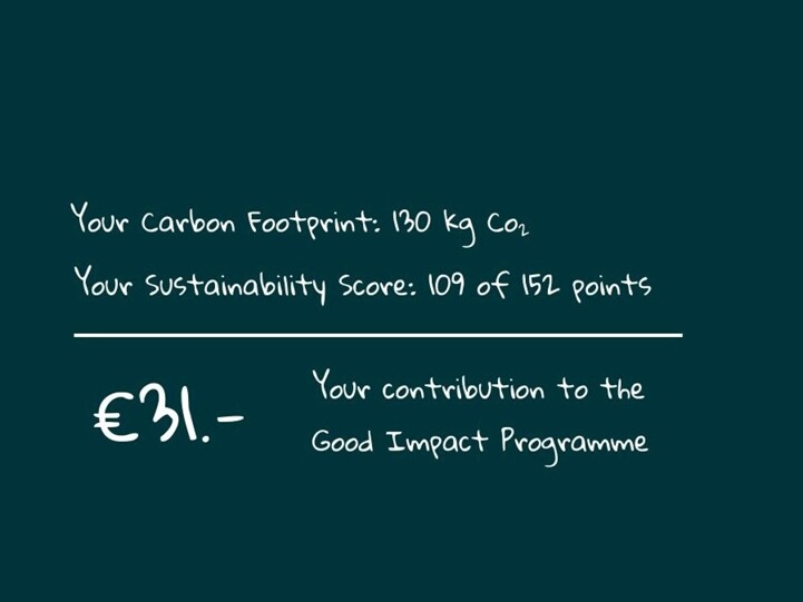
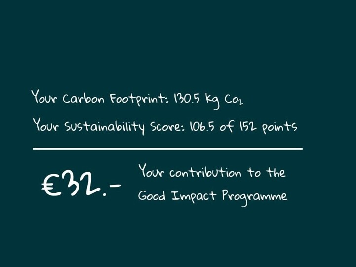
Your contribution helps towards keeping these official GPX tracks up-to-date and freely available to download.
License & Disclaimer

These EuroVelo GPX tracks are made available under the Open Database License. While ECF and National EuroVelo Coordination Centers and Coordinators (NECCs) make every effort to ensure the tracks and their levels of development are both current and accurate, errors or outdated information can occur. The user is fully responsible for his or her own safety when making use of the tracks and for following national traffic rules and signing.

Please download and read the complete How to use gpx tracks and License and disclaimer documents before using the tracks.

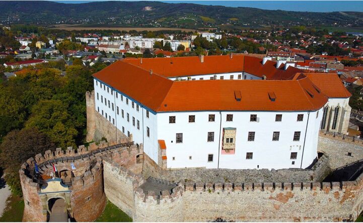
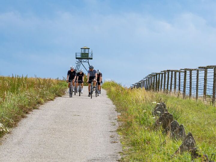
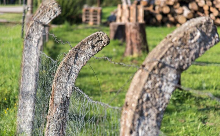
The stage of the Iron Curtain Trail includes Sopron, a place that played a major role in the Cold War. On the border close to this town, the Austrian and Hungarian Foreign Ministers jointly cut through the border fence on 27 June 1989. In August that year a border gate between Austria and Hungary was symbolically opened at the ‘Pan-European Picnic’. There are many other interesting sites located along this stage, including the Palace of Esterházy, once described as the Hungarian Versailles and the Őrségi National Park.

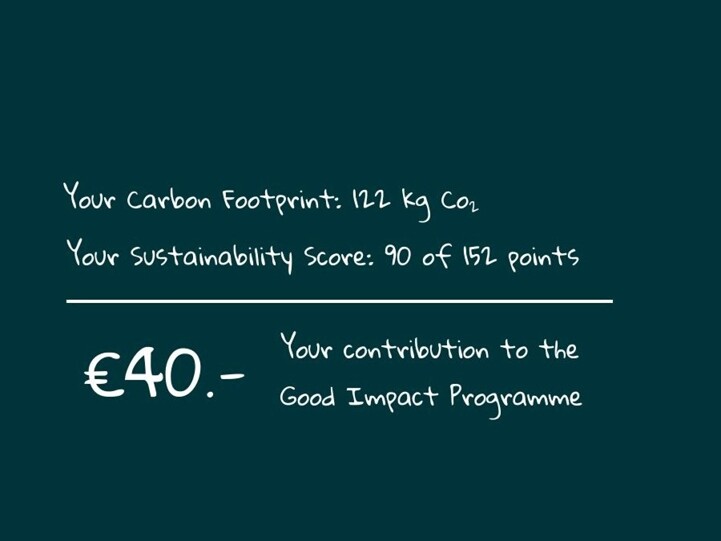
The development of EuroVelo 13 – Iron Curtain Trail is supported by the Interreg Central Europe project ICTr-CE. In the context of the project, ECF together with project partners developed an innovative cycling product - known as Good Impact Cycling - sold by official EuroVelo 13 Booking Centres to allow cyclists to experience the Iron Curtain Trail while leaving a positive influence. Using tools such as the CARMACAL carbon footprint calculator and the Impact Measurement System, the offers estimate the environmental and social impact of the tours. The Good Impact Programme reduces these impacts by allocating funds to projects focusing on environmental, social, and economic impacts, strengthening the positive contributions of cycling tourism to the regions. Check out the Good Impact Cycling tours on our tour packages page!

Etappes
Landen

Legend

Development status
  • Certified These sections were awarded the official EuroVelo Certification label, ensuring high-quality cycling conditions.They were surveyed in the field by EuroVelo Route Inspectors to respect minimum requirements for motorised traffic levels, surface quality, EuroVelo signage, and access to services as defined by the European Certification Standard (ECS) methodology. EuroVelo Certified routes are the best options for beginners!
  • Developed + Signed These sections offer generally good cycling conditions, with limited motorised traffic, rideable surfaces, and EuroVelo signs along the route. Developed routes with signs are suitable for most cyclists. However, short stretches with lower-quality conditions may occur, and it is recommended to bring a map or navigation app as signs can have defects.
  • Developed + Not Signed These sections offer generally good cycling conditions, with limited motorised traffic and rideable surfaces, but without EuroVelo signs. Developed routes without signs are suitable for most cyclists. However, short stretches with lower-quality conditions may occur, and it is warmly recommended to bring a map or navigation app.
  • Partially Developed + Signed Cycling is possible here, but conditions vary. Some stretches may have high motorised traffic or poor surfaces, even though EuroVelo signs are in place. Partially developed routes with signs are suitable for experienced cyclists only, and it is recommended to bring a map or navigation app and check national/regional websites for more information. ECF and National EuroVelo Coordination Centres are working on improvements.
  • Partially Developed + Not Signed Cycling is possible here, but conditions vary. Some stretches may have high motorised traffic or poor surfaces, and EuroVelo signs are not in place. Partially developed routes without signs are suitable for experienced cyclists only, and it is warmly recommended to bring a map or navigation app and check national/regional websites for more information. ECF and National EuroVelo Coordination Centres are working on improvements.
  • Undeveloped / Unknown These sections do not meet minimum requirements for motorised traffic levels or surface quality – or their conditions are currently unknown. They may include dangerous stretches. Cyclists choosing to cycle there should use a map or navigation app and check national/regional websites for more information. It is recommended to use public transport to skip these areas where possible.
  • Public transport link These sections include continuity across seas or rivers and undeveloped parts of the network that can be skipped with a reliable public transport connection allowing bicycle transport.

Markers

  • Natuurlijk Erfgoed
  • UNESCO-werelderfgoed
  • Cultureel Erfgoed
  • Culinaire Hoogstandjes
  • Maritime Heritage / The Rhine / The Meuse
  • Other Point of Interest
  • Service
  • Bus station
  • Train station
  • Mobility info center

National & Regional Information

Centre for Development of Active and Ecotourism

National EuroVelo Coordination Centre

The Hungarian National EuroVelo Coordination Center consortium leader is The Centre for Development of Active and Ecotourism (AÖFK), and the Hungarian National EuroVelo Coordinator is Miklós Berencsi. The other member of the NECC consortium are MAKETUSZ and the Department of Active Mobility of the Prime Minister's Office's State Secretary for Active Hungary.

+36 707022134

Website bezoeken

EuroVelo Austria

National EuroVelo Coordination Centre

The Austrian EuroVelo website offers an online map with railway stations and Bed+Bike accommodations, tracks in GPX and KML formats for download and detailed route descriptions in German in PDF format with maps, highlights and contacts for more information. The website was created by Austria's cycling organisation Radlobby.

Website bezoeken

Austria Info - The official Travel Guide

The official Austrian Travel Guide, the website of the Austrian National Tourist Office

Website bezoeken

ÖBB - Österreichische Bundesbahnen - Austrian Federal Railways

Website of the ÖBB: timetables of public traffic. Tickets can be booked directly. Look at special offers.

Website bezoeken

EuroVelo 13 in Slovakia and Austria

In this web portal dedicated to EuroVelo 13 – Iron Curtain Trail, you can find an interactive map and plenty of information on the relevant sites along the Slovak and Austrian sections of the route. The website is available in Slovak, English, German and Hungarian.

Website bezoeken

Train Information - Hungary

Bicycles can be transported by train within Hungary for a small surcharge on routes marked by a bicycle icon on the timetable. Bicycle carriage is also indicated by a similar icon, and bikes can be transported in the spaces at the end of each carriage. A request should be made for the transport of large numbers of bicycles at least one week prior to departure.

+36 (1) 3 49 49 49
Website bezoeken

Hungarian Cycling Tourism Association

Hungarian Cycling Tourism Association is a member of the Hungarian National EuroVelo Coordination Center consortium. The association engages in national cycling developments and is active in defining and implementing cycling developments.

Website bezoeken

EuroVelo Hungary

The Hungarian website is structured similarly to the general EuroVelo website and focuses on the EuroVelo routes that cross Hungary: EuroVelo 6 EuroVelo 11 EuroVelo 13 EuroVelo 14 The website is still under construction; it will offer descriptions of each route daily sections and main attractions, as well as downloadable GPX tracks and links to useful external websites. Each day section will have its own specific page.
Website bezoeken

Radtouren in Österreich

"Radtouren in Österreich" (Cycle routes in Austria) is the national marketing cooperation for the best cycling routes in Austria. It provides information on cycle trails, accommodation and cycling maps.

+43 (0) 316 4003
Website bezoeken

Villány Wine Region

The website provides up-to-date information about services and events organized in the Villány-Siklós wine growing area, in three languages (Hungarian, English, German). The website’s database lists all available service providers, classified according to quality of service. It is maintained by the Villány-Siklós Wine Route Association.

Website bezoeken

Three Rivers Bicycle Routes (Három Folyó)

The website provides detailed and up-to-date information on the bicycle infrastructure of the EV13 in South Transdanubia. It is available in three languages (Hungarian, English, Croatian), including news, online and downloadable maps, route descriptions, points of interest with basic information, accessibilities and GPS coordinates.

Website bezoeken

Gerelateerd nieuws

Kaarten & Gidsen

Services

Bike-friendly accommodation providers
Oostenrijk
EV6 EV7 EV9 EV13 EV14 EV15
national

"Radtouren in Österreich" offers a range of bike friendly accommodations that can be filtered in regions or cycle paths. Certified with the "bett+bike" quality label by ADFC.

Website bezoeken
Bikepartners Lower Austria
Oostenrijk
EV9 EV13
regional

"Weinviertel" covers only the Weinviertel region of Lower Austria but gives much information on cycling friendly restaurants and accommodations. Further, it informs about resting stations with drinking water and bike rentals.

Website bezoeken
National network of cycling-friendly service providers
Hongarije
EV6 EV11 EV13 EV14
national

In Hungary, the national cycling-friendly service scheme was launched in cooperation with MAKETUSZ in the frame of the Cyclists Welcome in Visegrad countries project. There are now nearly 1400 certified members. Check out the interactive map, including cycling-friendly restaurants and accommodations, attractions, bike parks, water refill points, repair stations, bike rest areas, and routes for both beginners and advanced cyclists available, following the link below.

Website bezoeken