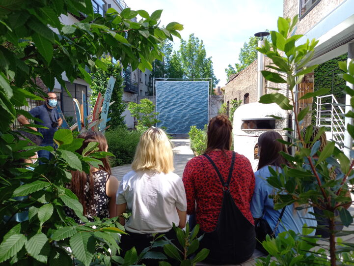
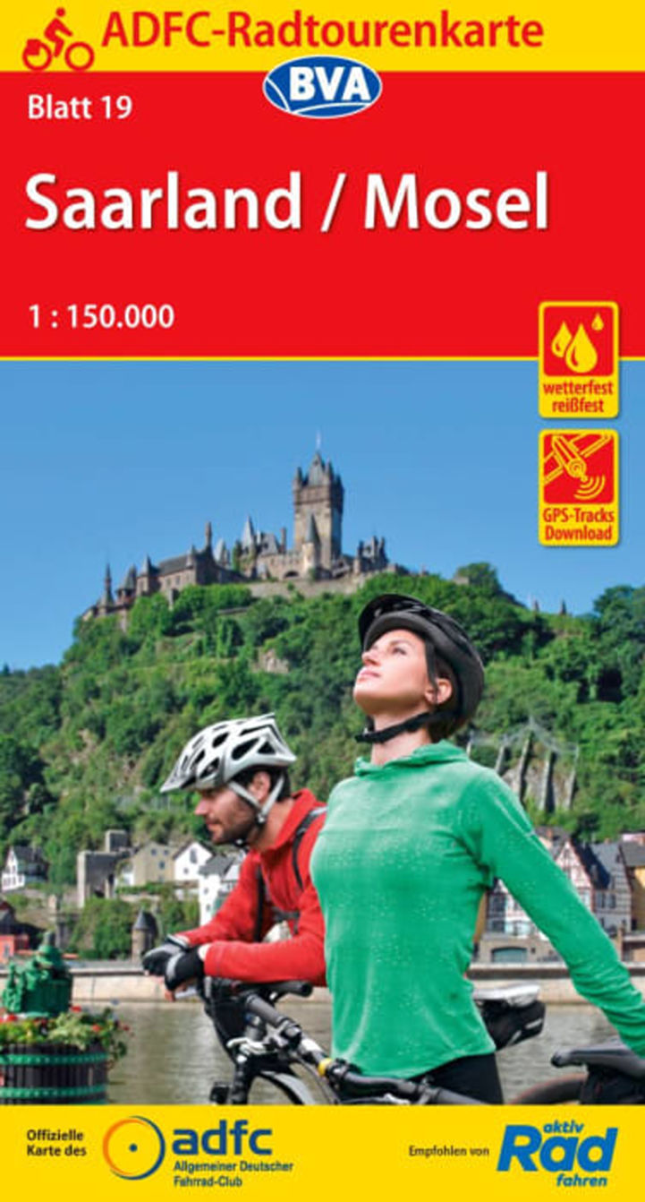
The EuroVelo 5 in Germany is short, yet very sweet! Only 80 km long. The route leads the cyclists through the beautiful German federal states of Saarland and Rhineland-Palatinate. On this section of the EuroVelo 5, cyclists enjoy all that the impressive countryside and the beautiful river valleys of southwestern Germany have to offer. Shortly after crossing the border with Luxembourg, you will ride through the smaller cities, towns and wine villages located along the river Saar, before arriving at the beautiful town of Saarbrücken, Saarland's administrative, commercial and cultural centre. From there, the German-French border is not far.

POIs-EV3-5.jpg
.
Landen

Legend

Development status
  • Certified Section of at least 300 km that has successfully undergone the certification process in line with ECF’s European Certification Standard. It is the highest quality level on the EuroVelo network
  • Developed with EuroVelo signs Developed route (see category below) with continuous signing along the route, incorporating EuroVelo route information panels.
  • Developed Route developed for cyclists and signed in line with the respective national standard (i.e. it is part of a local, regional or national cycle network). There must also be a website providing information to users. Developed route can be heterogeneous in terms of infrastructure: type of cycling infrastructure, surface, width, gradients, etc
  • Under development Route containing sections that require further development (e.g. stretches on public highways with high levels of traffic). Cyclists are advised to use public transportation to skip these non-developed stretches.
  • Planning Undeveloped route with no detailed information publicly available on the Internet. The itinerary communicated is a proposal for the best possible option currently available. It may also contain dangerous sections. Cyclists are advised to use public transportation to skip these non-developed stretches.
  • Public transport link

Markers

  • Natuurlijk Erfgoed
  • UNESCO-werelderfgoed
  • Cultureel Erfgoed
  • Culinaire Hoogstandjes
  • Maritime Heritage / The Rhine / The Meuse
  • Other Point of Interest
  • Bus station
  • Train station
  • Mobility info center

National & Regional Information

ADFC: Allgemeiner Deutscher Fahrrad-Club e.V.

National EuroVelo Coordination Centre

De ADFC is een landelijke non-profitorganisatie met meer dan 230.000 fiets-enthousiaste leden, die zich gezamenlijk ten doel stelt de wegen veiliger te maken voor fietsers en voetgangers. Naast het stimuleren van milieuvriendelijke en dus duurzame vormen van vervoer, adviseert de ADFC over alle aspecten van het fietsen. Dit omvat advies over de aankoop van een fiets, technologie en fietsaccessoires, toeristische en politieke kwesties.

030 2091498-0

ADFC brochure "Ontdek Duitsland per fiets"

Op de online presentatie van de brochure van de ADFC vind je een selectie van de mooiste fietsroutes in Duitsland.

ADFC Kwaliteitsfietsroutes

Momenteel dragen 37 kwaliteitsroutes in Duitsland, 2 kwaliteitsroutes in het buitenland en 8 fietstochtregio's het ADFC-keurmerk. De link geeft meer informatie.

Bett+Bike - Fietsvriendelijke accommodatie

Ongeveer 5.900 hotels, pensions, jeugdherbergen, natuurhuizen en campings zijn op maat gemaakt voor de behoeften van de fietsers. Gastbedrijven die voldoen aan de ADFC-kwaliteitscriteria zijn bij de ingang voorzien van een bordje.

Duits Toeristisch Centrum e.V., DZT

Het DZT promoot Duitsland al meer dan 60 jaar namens de federale overheid in het buitenland. Het adverteert de toeristische diversiteit van Duitsland over de hele wereld. Het adverteert daarom voor een van de grootste en populairste merken - het reisland Duitsland. Een selectie van aantrekkelijke langeafstandsfietsroutes vindt u op www.germany.travel met routebeschrijvingen en referenties van Bed+Bike vestigingen.

+49 (0)69 974640

Fietsrouteplanner in Duitsland

Dit platform maakt naadloze fietsrouteplanning in heel Duitsland mogelijk! Plan uw reis en download de GPX tracks van Duitse D-Routes in open data.

[EV5] Grenzland-Runde

The Tourism Organization Saarschleifenland Tourismus provides information on the "Grenzland-Runde" (Border Area Circuit), a tour of 35 km. The website offers details on the elevation gain and similar characteristics, a GPS track, maps etc.

0049 (0)6861 80440

[EV5] Saar-Radweg

The family-friendly, completely flat route leads along the banks of the Saar from Sarreguemines in France to Konz, where Saar and Mosel meet. Particularly worth seeing are Saarbrücken with its baroque buildings, the UNESCO World Cultural Heritage Site Völklinger Hütte, the fortified city of Saarlouis, the city of Merzig with its Wolfspark, the Saar loop, the lifestyle provider Villeroy & Boch and the picturesque city of Saarburg.

0049 (0)681 927200

[EV5] Saarland-Radweg

The "Saarland-Radweg" (Saarland cycle path) leads you partly on old towpaths around the beautiful Saarland. In addition to historic towns such as Saarbrücken and Sankt Wendel, you will also see impressive landscapes in the Black Forest and Saargau. Sights such as the UNESCO World Cultural Heritage Site Völklinger Hütte are spread along the way and invite you to discover them.

0049 (0)681 927200

Kaarten & Gidsen

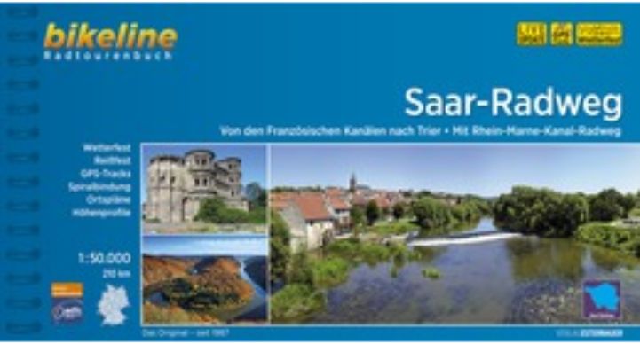
EuroVelo 5: Saar Cycle Route [Bikeline Esterbauer]

This cycling guide describes the sections of EuroVelo 5 in Germany between Merzig and Saarbrücken and then in France up to Strasbourg (233 km). The perfect tool before and during your journey: precise and informative maps, 1:50,000 scale, elevation and distance profiles, GPS tracks, accommodation and service directory. Can be used even without any knowledge of German. English translation of the map legend and the user manual of the guide available at esterbauer.com/international.

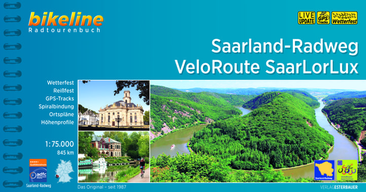
EuroVelo 5: "Saarland-Radweg Veloroute SaarLorLux" [Bikeline Esterbauer]

This cycling guide describes the sections of EuroVelo 5 in Luxembourg from Luxembourg city, through Germany and in France up to the lake Étang du Stock (230 km). The perfect tool before and during your journey: precise and informative maps, 1:75,000 scale, elevation and distance profiles, GPS tracks, accommodation and service directory. Can be used even without any knowledge of German. English translation of the map legend and the user manual of the guide available at esterbauer.com/internation…