ZwitserlandMobiliteit
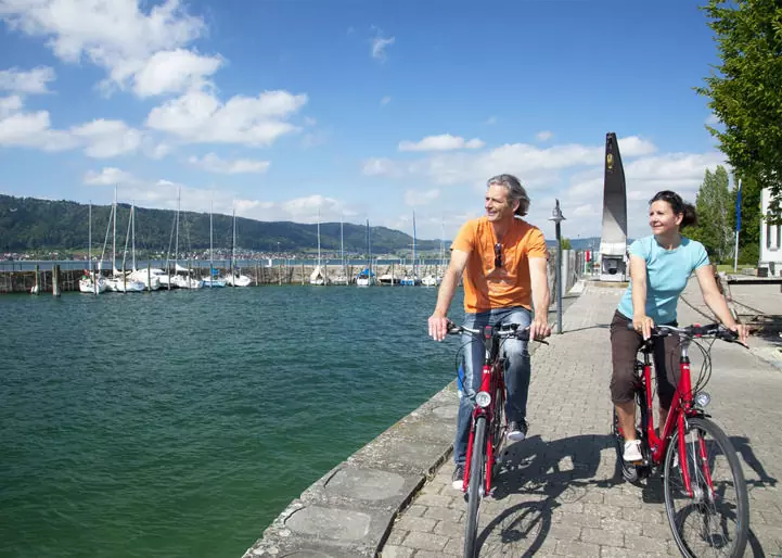
Meer informatie over de EuroVelo-routes 5, 6, 15 en 17 vindt u op de website switzerlandmobility.ch of in de gratis SwitzerlandMobility-app. Elke route bevat een uitgebreide fotogalerij, een beschrijving en informatie over de afstand, het hoogteprofiel, de moeilijkheidsgraad en hoe u er met het openbaar vervoer kunt komen. Daarnaast vindt u er informatie over accommodaties, bezienswaardigheden, fietsreparatie- en verhuurpunten, of wegafsluitingen en omleidingen langs de route.
[email protected] +41 31 313 02 70