Travel the length of the RAVeL paths in Wallonia using the nodes network!
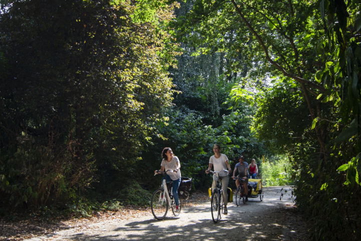
Discover the riches of the region whilst travelling along old railways and create your own plan using the map. There are lots of travel opportunities in Wallonia to delight outdoorsy families, such as cyclists.
Zoom in on the RAVeL paths!
RAVeL routes in Wallonia

The RAVeL network (Réseaux Autonome des voies Lentes, French for Autonomous network of slow routes) offers more than 1,430 km of cycle paths in Wallonia. Around 45 itineraries, originally towpaths and disused railway lines, have been signposted to serve as cycling or walking routes for cyclists, but also hikers, horse riders and people with reduced mobility.
To make travelling easier, the RAVeL network connects the different local routes of the region to form 10 regional itineraries and 3 international EuroVelo itineraries in Belgium.
A great way to discover the big cities, rural areas and protected natural areas of Wallonia in peace.
Nodes
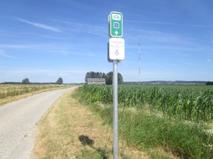
So-called nodes or junctions are used as additional orientation tools to help travellers find their way through the mesh of RAVeL pathways.

A nodes network consists of mesh 5 to 8 km in length. Each crossroad between two sections of the network corresponds to a number. Each number is signed, together with the next number to which each branch of the crossroad leads. This allows cyclists and hikers to construe their own routes, depending on how far they want to travel and whether they want to go in a circle or straight. It is possible, for instance, to start travelling on one route and change route when you arrive at a node.
More information on nodes.
This article was prepared by Pro Velo. Questions about EuroVelo in Belgium? Take a look at the website eurovelobelgium.be or contact the team: [email protected].