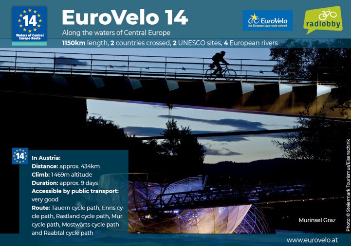
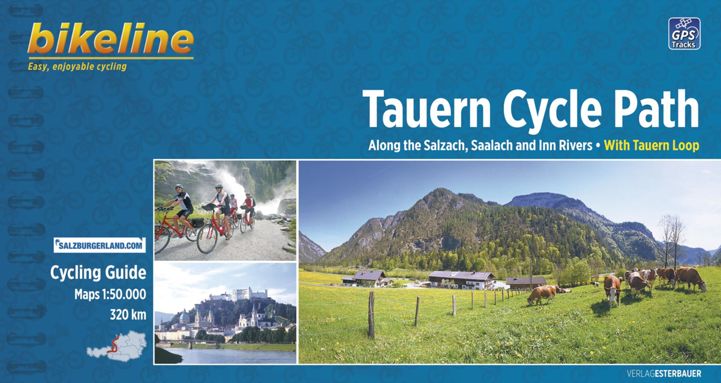
EuroVelo 14 - Waters of Central Europe starts in Zell am See, where there is a very good train connection with Salzburg. The route heads east along the Tauern Cycle Path/Bischofshofen, where it crosses EuroVelo 7 - Sun Route and then changes to the Ennsradweg/Schladming. From Liezen the route takes the Rastalandradweg to St. Michael. It then continues along the Mur cycle path via Bruck an der Mur to Graz. From Graz, take the Mostwärtsradweg and change to the Raabtalradweg. Shortly before the Hungarian border town of Szentgotthard, it is possible to branch off onto EuroVelo 9 - Baltic-Adriatic. The total length of EuroVelo 14 in Austria is 434 kilometers with an altitude of 1,348 meters, and the journey time is estimated at nine days.

Landen

Legend

Development status
  • Certified Section of at least 300 km that has successfully undergone the certification process in line with ECF’s European Certification Standard. It is the highest quality level on the EuroVelo network
  • Developed with EuroVelo signs Developed route (see category below) with continuous signing along the route, incorporating EuroVelo route information panels.
  • Developed Route developed for cyclists and signed in line with the respective national standard (i.e. it is part of a local, regional or national cycle network). There must also be a website providing information to users. Developed route can be heterogeneous in terms of infrastructure: type of cycling infrastructure, surface, width, gradients, etc
  • Under development Route containing sections that require further development (e.g. stretches on public highways with high levels of traffic). Cyclists are advised to use public transportation to skip these non-developed stretches.
  • Planning Undeveloped route with no detailed information publicly available on the Internet. The itinerary communicated is a proposal for the best possible option currently available. It may also contain dangerous sections. Cyclists are advised to use public transportation to skip these non-developed stretches.
  • Public transport link

Markers

  • Natuurlijk Erfgoed
  • UNESCO-werelderfgoed
  • Cultureel Erfgoed
  • Culinaire Hoogstandjes
  • Maritime Heritage / The Rhine / The Meuse
  • Other Point of Interest
  • Bus station
  • Train station
  • Mobility info center

National & Regional Information

EuroVelo Austria

National EuroVelo Coordination Centre

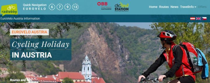
The Austrian EuroVelo website offers an online map with railway stations and Bed+Bike accommodations, tracks in GPX and KML formats for download and detailed route descriptions in German in PDF format with maps, highlights and contacts for more information. The website was created by Austria's cycling organisation Radlobby.

Austria Info - The official Travel Guide

The official Austrian Travel Guide, the website of the Austrian National Tourist Office

ÖBB - Österreichische Bundesbahnen - Austrian Federal Railways

Website of the ÖBB: timetables of public traffic. Tickets can be booked directly. Look at special offers.

Radtouren in Österreich

"Radtouren in Österreich" (Cycle routes in Austria) is the national marketing cooperation for the best cycling routes in Austria. It provides information on cycle trails, accommodation and cycling maps.

+43 (0) 316 4003

Kaarten & Gidsen

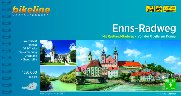
EuroVelo 14: Enns Cycle Route [Bikeline Esterbauer]

This cycling guide describes EuroVelo 14 in Austria between Altenmarkt im Pongau and Liezen (92 km). The perfect tool before and during your journey: precise and informative maps, 1:50,000 scale, elevation and distance profiles, GPS tracks, accommodation and service directory. Can be used even without any knowledge of German. English translation of the map legend and the user manual of the guide available at esterbauer.com/international.

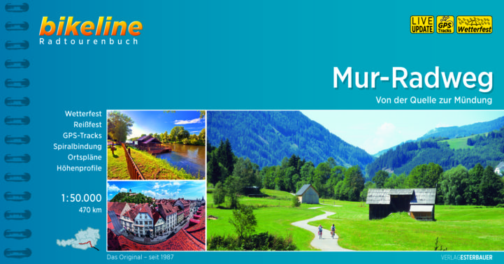
EuroVelo 14: Mur Cycle Route [Bikeline Esterbauer]

Ce topo-guide décrit la section autrichienne de l’EuroVelo 14 entre Sankt Michael im Lungau et Graz (248 km). Un outil parfait pour préparer votre voyage et vous guider : cartes à l’échelle 1 : 50 000, profils d’élévation et de distance, tracés GPS, annuaire des hébergements et services vélo, plastifié et indéchirable. Utile également pour les non-germanophones car la légende des cartes et le manuel d’utilisation du guide sont disponibles en français sur esterbauer.com/international.